 vesseltracker.com
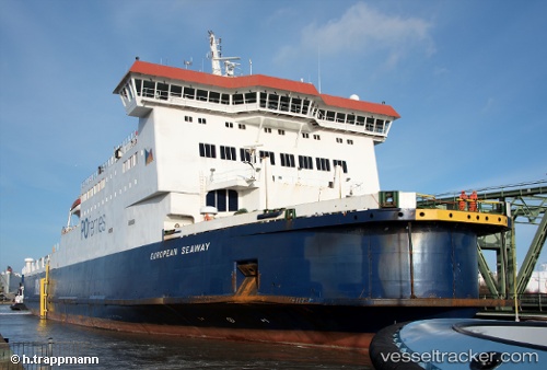
 BLUE WAVE HARMONY
Current Status
Where is the vessel?
BLUE WAVE HARMONY is currently in Near Port Of Spain, based on AIS data received less than 1h ago.
Latest AIS update:
Current position: 10.64548° N, 61.51167° W (Near Port Of Spain)
Average speed (last 7 days): Loading…
Average speed (last 30 days): Loading…
Vessel profile: BLUE WAVE HARMONY is a Ro-Ro/Passenger Ship with dimensions m x m.
This page combines live AIS, route history, probable destination signals, nearby traffic, and port activity for practical vessel monitoring.
The current position of vessel BLUE WAVE HARMONY is 10.64548 lat / -61.51167 lng. Updated: 2026-04-22 13:20:38 UTCNearest reference points:
- Near Caroni
- Near Carenage
- Near CARENAGE
Currently sailing under the flag of Panama ![]()
Details:
Live Vessel BLUE WAVE HARMONY Analytics (details, animations, etc.)
Recent AIS points (UTC):
2026-04-22 10:11:39 UTC · 10.64547, -61.51167 · SOG 0 kn · COG 177°2026-04-22 10:32:40 UTC · 10.64547, -61.51167 · SOG 0 kn · COG 177°
2026-04-22 11:44:38 UTC · 10.64550, -61.51167 · SOG 0 kn · COG 176°
2026-04-22 13:20:38 UTC · 10.64548, -61.51167 · SOG 0 kn · COG 176°