 vesseltracker.com
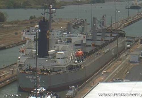
 CEDAR
CEDAR
Current Status
Where is the vessel?
CEDAR is currently in Near Yanbu Al Bahr, based on AIS data received less than 1h ago.
Latest AIS update:
Current position: 24.07984° N, 38.07493° E (Near Yanbu Al Bahr)
Average speed (last 7 days): Loading…
Average speed (last 30 days): Loading…
Vessel profile: CEDAR is a Bulk Carrier with dimensions 32m x 190m.
This page combines live AIS, route history, probable destination signals, nearby traffic, and port activity for practical vessel monitoring.
The current position of vessel CEDAR is 24.07984 lat / 38.07493 lng. Updated: 2026-04-02 04:16:58 UTCNearest reference points:
- 30 nm SW of Yanbu
- 35 nm S of Umm Lajj
- 42 nm NW of Fiji
Currently sailing under the flag of Panama ![]()
CEDAR built in 2008 year
Deadweight:
58802 tDetails:
Live Vessel CEDAR Analytics (details, animations, etc.)
Recent AIS points (UTC):
2026-04-01 21:22:54 UTC · 24.07982, 38.07494 · SOG 0 kn · COG 123°2026-04-01 23:28:52 UTC · 24.07983, 38.07492 · SOG 0 kn · COG 123°
2026-04-02 01:37:52 UTC · 24.07983, 38.07492 · SOG 0 kn · COG 123°
2026-04-02 04:16:58 UTC · 24.07984, 38.07493 · SOG 0 kn · COG 123°