 vesseltracker.com
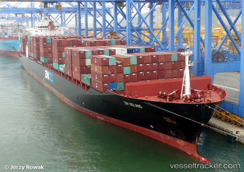
Vessel MSC BARBADOS IMO: 9289544, MMSI: 352001367 Container Ship
UTC, 38.44614, 15.78749, course: 83, speed: 4.9
UTC, 38.45908, 15.90698, course: 198, speed: 0
2026-01-16 06:30:15 UTC, 38.45891, 15.90708, course: 198, speed: 0
Live AIS position:
UTC. Near GIOIA TAURO),
updated 2026-01-16 06:30:15 UTC.
Find the position of the vessel MSC BARBADOS on the map. The latter are known coordinates and path.
marine traffic ship tracker show on live map
The current position of vessel MSC BARBADOS is 38.45891 lat / 15.90708 lng. Updated: 2026-01-16 06:30:15 UTCCurrently sailing under the flag of Panama
MSC BARBADOS built in 2005 year
Deadweight:
66939 tDetails:
Last coordinates of the vessel:
UTC, 38.41374, 15.57438, course: 70, speed: 12.2UTC, 38.44614, 15.78749, course: 83, speed: 4.9
UTC, 38.45908, 15.90698, course: 198, speed: 0
2026-01-16 06:30:15 UTC, 38.45891, 15.90708, course: 198, speed: 0