 vesseltracker.com
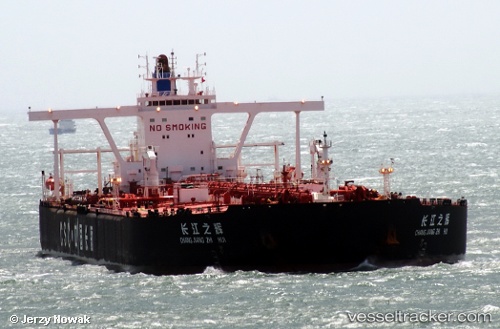
 YONG DING
Current Status
Where is the vessel?
YONG DING is currently in 19 nm NE of Offshore Fujairah, based on AIS data received about 52d ago.
Latest AIS update:
Current position: 25.50046° N, 56.87566° E (19 nm NE of Offshore Fujairah)
Average speed (last 7 days): Loading…
Average speed (last 30 days): Loading…
Vessel profile: YONG DING is a Crude Oil Tanker with dimensions 330m x 60m.
This page combines live AIS, route history, probable destination signals, nearby traffic, and port activity for practical vessel monitoring.
The current position of vessel YONG DING is 25.50046 lat / 56.87566 lng. Updated: 2026-02-15 01:19:27 UTCNearest reference points:
- 29 nm NE of Offshore Fujairah
- Near Offshore Fujairah
- 30 nm NE of Offshore Fujairah
Currently sailing under the flag of Panama ![]()
YONG DING built in 2009 year
Deadweight:
296068 tDetails:
Live Vessel YONG DING Analytics (details, animations, etc.)
Recent AIS points (UTC):
2026-02-15 01:19:27 UTC · 25.50046, 56.87566 · SOG 12.9 kn · COG 175°