 vesseltracker.com
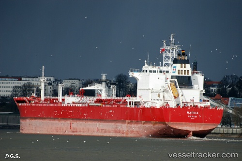
 SRINI
SRINI
Current Status
Where is the vessel?
SRINI is currently in 47 nm E of Strå, based on AIS data received about 1h ago.
Latest AIS update:
Current position: 58.14998° N, 20.39812° E (47 nm E of Strå)
Average speed (last 7 days): Loading…
Average speed (last 30 days): Loading…
Vessel profile: SRINI is a Oil Products Tanker with dimensions 32m x 229m.
This page combines live AIS, route history, probable destination signals, nearby traffic, and port activity for practical vessel monitoring.
The current position of vessel SRINI is 58.14998 lat / 20.39812 lng. Updated: 2026-04-19 14:23:30 UTCNearest reference points:
- 37 nm W of Vikati Sadam
- 18 nm N of Ventspils
- Near Ventspils
Currently sailing under the flag of Panama ![]()
SRINI built in 2008 year
Deadweight:
74996 tDetails:
Live Vessel SRINI Analytics (details, animations, etc.)
Recent AIS points (UTC):
2026-04-19 10:26:21 UTC · 58.73025, 21.07433 · SOG 13.3 kn · COG 211°2026-04-19 11:22:52 UTC · 58.61753, 20.96085 · SOG 4.6 kn · COG 195°
2026-04-19 13:36:21 UTC · 58.29751, 20.55218 · SOG 12.9 kn · COG 207°
2026-04-19 14:23:30 UTC · 58.14998, 20.39812 · SOG 12.7 kn · COG 205°