 vesseltracker.com
 BOMUSTAFA O
Current Status
Where is the vessel?
BOMUSTAFA O is currently in Near HUDAIDAH, based on AIS data received about 1h ago.
Latest AIS update:
Current position: 14.83938° N, 42.93615° E (Near HUDAIDAH)
Average speed (last 7 days): Loading…
Average speed (last 30 days): Loading…
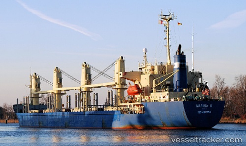
Vessel profile: BOMUSTAFA O is a Bulk Carrier with dimensions 158m x 26m.
This page combines live AIS, route history, probable destination signals, nearby traffic, and port activity for practical vessel monitoring.
The current position of vessel BOMUSTAFA O is 14.83938 lat / 42.93615 lng. Updated: 2026-04-21 00:03:53 UTCNearest reference points:
- 81 nm NW of As Salif
- Near Jazan Economic City
- 92 nm SW of Al Qahmah
Currently sailing under the flag of Panama ![]()
BOMUSTAFA O built in 1995 year
Deadweight:
24173 tDetails:
Live Vessel BOMUSTAFA O Analytics (details, animations, etc.)
Recent AIS points (UTC):
2026-04-20 22:03:35 UTC · 14.83938, 42.93619 · SOG 0 kn · COG -1°2026-04-20 22:48:41 UTC · 14.83936, 42.93619 · SOG 0 kn · COG -1°
2026-04-20 23:48:51 UTC · 14.83938, 42.93615 · SOG 0 kn · COG -1°
2026-04-21 00:03:53 UTC · 14.83938, 42.93615 · SOG 0 kn · COG -1°