 vesseltracker.com
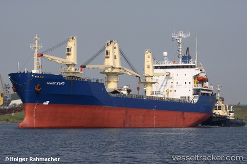
 SEREF KURU
Current Status
Where is the vessel?
SEREF KURU is currently in 36 nm SW of Bishop Rock, based on AIS data received about 2h ago.
Latest AIS update:
Current position: 49.21559° N, 7.00739° W (36 nm SW of Bishop Rock)
Average speed (last 7 days): Loading…
Average speed (last 30 days): Loading…
Vessel profile: SEREF KURU is a General Cargo with dimensions m x m.
This page combines live AIS, route history, probable destination signals, nearby traffic, and port activity for practical vessel monitoring.
The current position of vessel SEREF KURU is 49.21559 lat / -7.00739 lng. Updated: 2026-04-16 19:29:22 UTCNearest reference points:
- 28 nm N of San Clodio
- Near Isles of Scilly
- 35 nm SW of Ile D’Ouessant
Currently sailing under the flag of Panama ![]()
Details:
Live Vessel SEREF KURU Analytics (details, animations, etc.)
Recent AIS points (UTC):
2026-04-16 11:54:21 UTC · 48.60728, -7.48461 · SOG 10.4 kn · COG 21°2026-04-16 13:30:33 UTC · 48.88110, -7.31944 · SOG 11.4 kn · COG 22°
2026-04-16 15:42:21 UTC · 49.19510, -7.11129 · SOG 1.5 kn · COG 239°
2026-04-16 19:29:22 UTC · 49.21559, -7.00739 · SOG 0.9 kn · COG 299°