 vesseltracker.com
 GINGKO
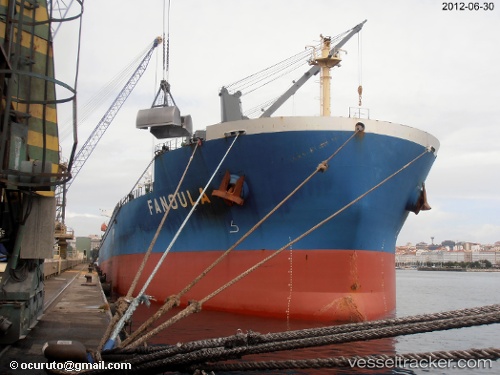
Current Status
Where is the vessel?
GINGKO is currently in 52 nm E of Nangang, based on AIS data received about 1d ago.
Latest AIS update:
Current position: 25.31456° N, 122.93137° E (52 nm E of Nangang)
Average speed (last 7 days): Loading…
Average speed (last 30 days): Loading…
Vessel profile: GINGKO is a Bulk Carrier with dimensions m x m.
This page combines live AIS, route history, probable destination signals, nearby traffic, and port activity for practical vessel monitoring.
The current position of vessel GINGKO is 25.31456 lat / 122.93137 lng. Updated: 2026-04-10 08:29:23 UTCNearest reference points:
- 55 nm E of Nangang
- 14 nm NE of Nangang
- 13 nm NE of Nangang
Currently sailing under the flag of Panama ![]()
Details:
Live Vessel GINGKO Analytics (details, animations, etc.)
Recent AIS points (UTC):
2026-04-10 01:48:53 UTC · 23.92460, 122.73577 · SOG 12.2 kn · COG 2°2026-04-10 03:55:34 UTC · 24.36686, 122.79043 · SOG 12.9 kn · COG 359°
2026-04-10 05:42:33 UTC · 24.74130, 122.84215 · SOG 12.3 kn · COG 0°
2026-04-10 08:29:23 UTC · 25.31456, 122.93137 · SOG 12.5 kn · COG 354°