 vesseltracker.com
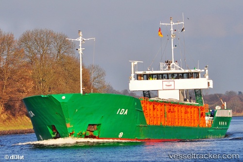
 MARILOU
Current Status
Where is the vessel?
MARILOU is currently in Near Yesilovacik, based on AIS data received about 1h ago.
Latest AIS update:
Current position: 36.06467° N, 33.64566° E (Near Yesilovacik)
Average speed (last 7 days): Loading…
Average speed (last 30 days): Loading…
Vessel profile: MARILOU is a General Cargo with dimensions m x m.
This page combines live AIS, route history, probable destination signals, nearby traffic, and port activity for practical vessel monitoring.
The current position of vessel MARILOU is 36.06467 lat / 33.64566 lng. Updated: 2026-04-17 23:10:14 UTCNearest reference points:
- 15 nm SW of Yesilovacik
- 20 nm SW of Yesilovacik
- Near Larnaca
Currently sailing under the flag of Panama ![]()
Details:
Live Vessel MARILOU Analytics (details, animations, etc.)
Recent AIS points (UTC):
2026-04-17 17:40:11 UTC · 35.97191, 33.03046 · SOG 7.1 kn · COG 84°2026-04-17 19:53:05 UTC · 36.01015, 33.30547 · SOG 4.9 kn · COG 80°
2026-04-17 21:30:24 UTC · 36.04319, 33.45312 · SOG 5.7 kn · COG 76°
2026-04-17 23:10:14 UTC · 36.06467, 33.64566 · SOG 5.2 kn · COG 78°