 vesseltracker.com
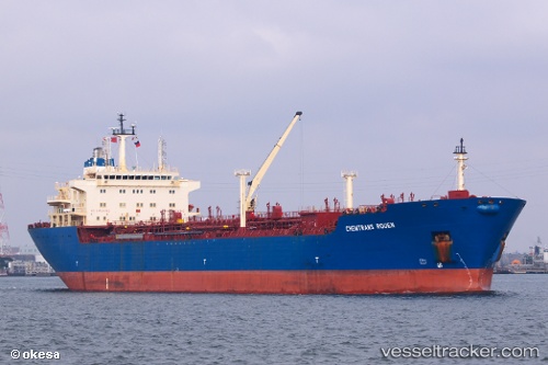
 RIANA
RIANA
Current Status
Where is the vessel?
RIANA is currently in 27 nm NE of Turen, based on AIS data received less than 1h ago.
Latest AIS update:
Current position: 11.52299° N, 68.66235° W (27 nm NE of Turen)
Average speed (last 7 days): Loading…
Average speed (last 30 days): Loading…
Vessel profile: RIANA is a Crude Oil Tanker with dimensions m x m.
This page combines live AIS, route history, probable destination signals, nearby traffic, and port activity for practical vessel monitoring.
The current position of vessel RIANA is 11.52299 lat / -68.66235 lng. Updated: 2026-04-09 12:02:34 UTCNearest reference points:
- Near Bullenbaai
- Near Las Piedras
- 24 nm NW of Palm Beach
Currently sailing under the flag of Panama ![]()
Details:
Live Vessel RIANA Analytics (details, animations, etc.)
Recent AIS points (UTC):
2026-04-09 05:34:47 UTC · 10.71597, -67.95801 · SOG 10.3 kn · COG 336°2026-04-09 07:31:49 UTC · 11.02168, -68.10736 · SOG 10.6 kn · COG 329°
2026-04-09 09:56:59 UTC · 11.35878, -68.35510 · SOG 10.1 kn · COG 326°
2026-04-09 12:02:34 UTC · 11.52299, -68.66235 · SOG 10.6 kn · COG 289°