 vesseltracker.com
 XIN HE LU 2
Current Status
Where is the vessel?
XIN HE LU 2 is currently in Near Taicang, based on AIS data received about 1h ago.
Latest AIS update:
Current position: 31.65138° N, 121.21235° E (Near Taicang)
Average speed (last 7 days): Loading…
Average speed (last 30 days): Loading…
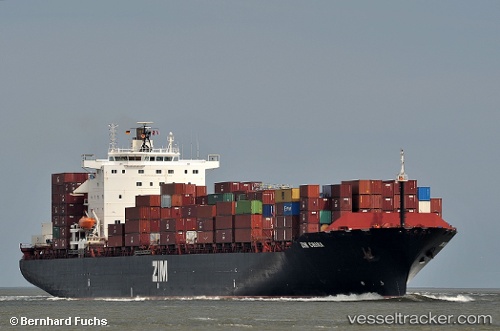
Vessel profile: XIN HE LU 2 is a Cargo with dimensions 253.7m x 32.29m.
This page combines live AIS, route history, probable destination signals, nearby traffic, and port activity for practical vessel monitoring.
The current position of vessel XIN HE LU 2 is 31.65138 lat / 121.21235 lng. Updated: 2026-03-30 11:35:09 UTCNearest reference points:
- Near Taicang
- Near Jiading
- Near Chongming
Currently sailing under the flag of Panama ![]()
XIN HE LU 2 built in 1997 year
Deadweight:
45850 tDetails:
Live Vessel XIN HE LU 2 Analytics (details, animations, etc.)
Recent AIS points (UTC):
2026-03-30 05:31:24 UTC · 31.35421, 121.65295 · SOG 10.6 kn · COG 300°2026-03-30 07:29:03 UTC · 31.50791, 121.40882 · SOG 9.1 kn · COG 302°
2026-03-30 09:50:11 UTC · 31.65147, 121.21238 · SOG 0 kn · COG 308°
2026-03-30 11:35:09 UTC · 31.65138, 121.21235 · SOG 0 kn · COG 308°