 vesseltracker.com
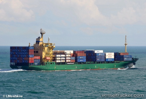
 SEPELU
Current Status
Where is the vessel?
SEPELU is currently in 68 nm SE of Coruripe, based on AIS data received about 1h ago.
Latest AIS update:
Current position: 11.08384° S, 35.56150° W (68 nm SE of Coruripe)
Average speed (last 7 days): Loading…
Average speed (last 30 days): Loading…
Vessel profile: SEPELU is a Container Ship with dimensions m x m.
This page combines live AIS, route history, probable destination signals, nearby traffic, and port activity for practical vessel monitoring.
The current position of vessel SEPELU is -11.08384 lat / -35.56150 lng. Updated: 2026-04-19 14:02:13 UTCNearest reference points:
- Near Barra dos Coqueiros
- Near Aracaju
- 157 nm SE of Maceio
Currently sailing under the flag of Panama ![]()
Details:
Live Vessel SEPELU Analytics (details, animations, etc.)
Recent AIS points (UTC):
2026-04-19 10:37:18 UTC · -10.25028, -35.26537 · SOG 15.4 kn · COG 199°2026-04-19 11:34:53 UTC · -10.48292, -35.35210 · SOG 15.2 kn · COG 198°
2026-04-19 13:06:46 UTC · -10.85631, -35.48238 · SOG 15.6 kn · COG 198°
2026-04-19 14:02:13 UTC · -11.08384, -35.56150 · SOG 15.5 kn · COG 198°