 vesseltracker.com
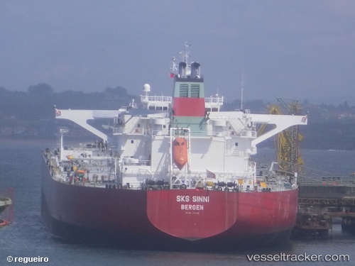
 NARCISSUS
Current Status
Where is the vessel?
NARCISSUS is currently in 56 nm E of Vardo, based on AIS data received about 1d ago.
Latest AIS update:
Current position: 70.50007° N, 33.85348° E (56 nm E of Vardo)
Average speed (last 7 days): Loading…
Average speed (last 30 days): Loading…
Vessel profile: NARCISSUS is a Crude Oil Tanker with dimensions 274m x 48m.
This page combines live AIS, route history, probable destination signals, nearby traffic, and port activity for practical vessel monitoring.
The current position of vessel NARCISSUS is 70.50007 lat / 33.85348 lng. Updated: 2026-04-10 07:42:26 UTCNearest reference points:
- 23 nm N of Polyarnyy
- 12 nm N of Polyarnyy
- Near Polyarnyy
Currently sailing under the flag of Marshall Islands ![]()
NARCISSUS built in 2003 year
Deadweight:
159367 tDetails:
Live Vessel NARCISSUS Analytics (details, animations, etc.)
Recent AIS points (UTC):
2026-04-10 02:13:30 UTC · 70.76292, 33.59786 · SOG 12.4 kn · COG 187°2026-04-10 04:03:10 UTC · 70.53433, 33.46941 · SOG 2.2 kn · COG 166°
2026-04-10 05:35:50 UTC · 70.51773, 33.62229 · SOG 2.2 kn · COG 158°
2026-04-10 07:42:26 UTC · 70.50007, 33.85348 · SOG 2.4 kn · COG 156°