 vesseltracker.com
 TURKELI
Current Status
Where is the vessel?
TURKELI is currently in 18 nm S of Punta Umbría, based on AIS data received about 1h ago.
Latest AIS update:
Current position: 36.87837° N, 6.82212° W (18 nm S of Punta Umbría)
Average speed (last 7 days): Loading…
Average speed (last 30 days): Loading…
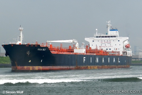
Vessel profile: TURKELI is a Oil/Chemical Tanker with dimensions m x m.
This page combines live AIS, route history, probable destination signals, nearby traffic, and port activity for practical vessel monitoring.
The current position of vessel TURKELI is 36.87837 lat / -6.82212 lng. Updated: 2026-04-21 19:22:51 UTCNearest reference points:
- Near Punta Umbría
- Near CHIPIONA
- Near La Antilla
Currently sailing under the flag of Panama ![]()
Details:
Live Vessel TURKELI Analytics (details, animations, etc.)
Recent AIS points (UTC):
2026-04-21 16:28:02 UTC · 36.87849, -6.82167 · SOG 0.7 kn · COG 207°2026-04-21 17:25:42 UTC · 36.87828, -6.82074 · SOG 0.1 kn · COG 212°
2026-04-21 19:02:42 UTC · 36.87824, -6.82235 · SOG 0.1 kn · COG 161°
2026-04-21 19:22:51 UTC · 36.87837, -6.82212 · SOG 0.2 kn · COG 174°