 vesseltracker.com
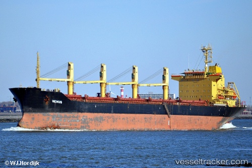
 KNIDOS M
Current Status
Where is the vessel?
KNIDOS M is currently in 30 nm NW of TENES, based on AIS data received less than 1h ago.
Latest AIS update:
Current position: 36.80470° N, 0.80557° E (30 nm NW of TENES)
Average speed (last 7 days): Loading…
Average speed (last 30 days): Loading…
Vessel profile: KNIDOS M is a Bulk Carrier with dimensions m x m.
This page combines live AIS, route history, probable destination signals, nearby traffic, and port activity for practical vessel monitoring.
The current position of vessel KNIDOS M is 36.80470 lat / 0.80557 lng. Updated: 2026-04-17 03:45:35 UTCNearest reference points:
- 50 nm N of Mostaganem
- 43 nm NW of Mostaganem
- Near Mostaganem
Currently sailing under the flag of Panama ![]()
Details:
Live Vessel KNIDOS M Analytics (details, animations, etc.)
Recent AIS points (UTC):
2026-04-16 22:05:52 UTC · 36.59555, -0.72026 · SOG 12.4 kn · COG 82°2026-04-16 23:34:40 UTC · 36.64200, -0.33196 · SOG 13.1 kn · COG 79°
2026-04-17 02:37:54 UTC · 36.76548, 0.50564 · SOG 12.8 kn · COG 77°
2026-04-17 03:45:35 UTC · 36.80470, 0.80557 · SOG 13.1 kn · COG 80°