 vesseltracker.com
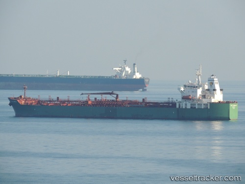
 LEO MARIS
Current Status
Where is the vessel?
LEO MARIS is currently in 151 nm SE of Dam Mon, based on AIS data received about 18h ago.
Latest AIS update:
Current position: 11.54008° N, 111.69716° E (151 nm SE of Dam Mon)
Average speed (last 7 days): Loading…
Average speed (last 30 days): Loading…
Vessel profile: LEO MARIS is a Oil/Chemical Tanker with dimensions m x m.
This page combines live AIS, route history, probable destination signals, nearby traffic, and port activity for practical vessel monitoring.
The current position of vessel LEO MARIS is 11.54008 lat / 111.69716 lng. Updated: 2026-04-10 07:14:23 UTCNearest reference points:
- 163 nm E of Vinh Cam Ranh
- 211 nm N of Pulau Lang Lang
- 156 nm SE of Phan Rang-Tháp Chàm
Currently sailing under the flag of Panama ![]()
Details:
Live Vessel LEO MARIS Analytics (details, animations, etc.)
Recent AIS points (UTC):
2026-04-10 00:55:54 UTC · 12.75198, 112.22533 · SOG 12.5 kn · COG 203°2026-04-10 02:38:03 UTC · 12.42127, 112.08387 · SOG 12.4 kn · COG 203°
2026-04-10 05:18:16 UTC · 11.90407, 111.86512 · SOG 12.7 kn · COG 205°
2026-04-10 07:14:23 UTC · 11.54008, 111.69716 · SOG 12 kn · COG 204°