 vesseltracker.com
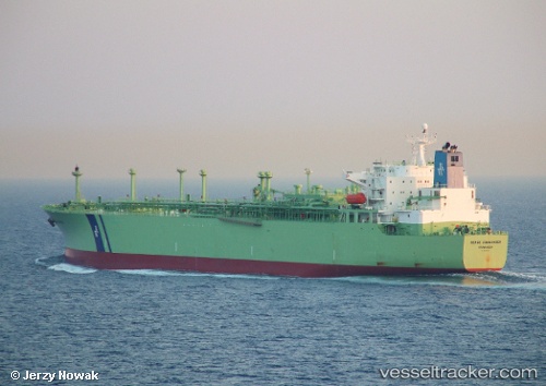
 MILE
MILE
Current Status
Where is the vessel?
MILE is currently in 23 nm E of Lianyungang, based on AIS data received less than 1h ago.
Latest AIS update:
Current position: 34.86321° N, 119.89909° E (23 nm E of Lianyungang)
Average speed (last 7 days): Loading…
Average speed (last 30 days): Loading…
Vessel profile: MILE is a Lpg Tanker with dimensions m x m.
This page combines live AIS, route history, probable destination signals, nearby traffic, and port activity for practical vessel monitoring.
The current position of vessel MILE is 34.86321 lat / 119.89909 lng. Updated: 2026-04-02 11:43:21 UTCNearest reference points:
- 18 nm E of Lianyungang
- 30 nm NE of CHENJIAGANG
- 18 nm N of CHENJIAGANG
Currently sailing under the flag of Panama ![]()
Details:
Live Vessel MILE Analytics (details, animations, etc.)
Recent AIS points (UTC):
2026-04-02 06:00:32 UTC · 34.86577, 119.89695 · SOG 0 kn · COG 128°2026-04-02 07:45:00 UTC · 34.86525, 119.89667 · SOG 0 kn · COG 112°
2026-04-02 09:39:04 UTC · 34.86458, 119.89700 · SOG 0 kn · COG 85°
2026-04-02 11:43:21 UTC · 34.86321, 119.89909 · SOG 0.5 kn · COG 19°