 vesseltracker.com
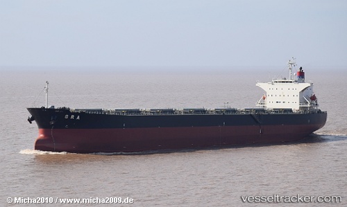
 BAILIAN STAR
Current Status
Where is the vessel?
BAILIAN STAR is currently in 125 nm NE of Las Brujas, based on AIS data received about 1h ago.
Latest AIS update:
Current position: 25.45150° N, 17.22778° W (125 nm NE of Las Brujas)
Average speed (last 7 days): Loading…
Average speed (last 30 days): Loading…
Vessel profile: BAILIAN STAR is a Bulk Carrier with dimensions m x m.
This page combines live AIS, route history, probable destination signals, nearby traffic, and port activity for practical vessel monitoring.
The current position of vessel BAILIAN STAR is 25.45150 lat / -17.22778 lng. Updated: 2026-04-20 08:03:13 UTCNearest reference points:
- 110 nm NE of Las Brujas
- 68 nm NW of Ad Dakhla
- 22 nm S of San Agustin
Currently sailing under the flag of Panama ![]()
Details:
Live Vessel BAILIAN STAR Analytics (details, animations, etc.)
Recent AIS points (UTC):
2026-04-20 04:10:59 UTC · 24.95024, -17.66801 · SOG 10 kn · COG 38°2026-04-20 05:58:37 UTC · 25.18773, -17.46650 · SOG 9.8 kn · COG 38°
2026-04-20 07:12:52 UTC · 25.34602, -17.32194 · SOG 9.8 kn · COG 38°
2026-04-20 08:03:13 UTC · 25.45150, -17.22778 · SOG 9.4 kn · COG 36°