 vesseltracker.com
 VARSHA
Current Status
Where is the vessel?
VARSHA is currently in 47 nm SW of AMERI, based on AIS data received about 2h ago.
Latest AIS update:
Current position: 28.00176° N, 50.41901° E (47 nm SW of AMERI)
Average speed (last 7 days): Loading…
Average speed (last 30 days): Loading…
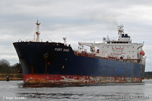
Vessel profile: VARSHA is a Chemical/Oil Products Tanker with dimensions 183m x 32m.
This page combines live AIS, route history, probable destination signals, nearby traffic, and port activity for practical vessel monitoring.
The current position of vessel VARSHA is 28.00176 lat / 50.41901 lng. Updated: 2026-04-03 11:48:00 UTCNearest reference points:
- 44 nm NE of Ras Al Khair
- 41 nm NE of Ras Al Khair
- 41 nm S of Soroosh (Cyrus) Terminal
Currently sailing under the flag of Panama ![]()
VARSHA built in 2003 year
Deadweight:
46211 tDetails:
Live Vessel VARSHA Analytics (details, animations, etc.)
Recent AIS points (UTC):
2026-04-03 06:07:41 UTC · 28.74062, 49.67703 · SOG 9.7 kn · COG 144°2026-04-03 07:42:19 UTC · 28.52568, 49.84711 · SOG 10.3 kn · COG 145°
2026-04-03 09:52:41 UTC · 28.24167, 50.12500 · SOG 11 kn · COG -1°
2026-04-03 11:48:00 UTC · 28.00176, 50.41901 · SOG 10.8 kn · COG -1°