 vesseltracker.com
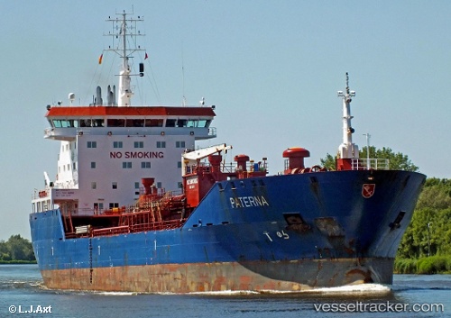
 EOS T
EOS T
Current Status
Where is the vessel?
EOS T is currently in Near Lome, based on AIS data received about 1d ago.
Latest AIS update:
Current position: 6.06435° N, 1.22899° E (Near Lome)
Average speed (last 7 days): Loading…
Average speed (last 30 days): Loading…
Vessel profile: EOS T is a Oil/Chemical Tanker with dimensions m x m.
This page combines live AIS, route history, probable destination signals, nearby traffic, and port activity for practical vessel monitoring.
The current position of vessel EOS T is 6.06435 lat / 1.22899 lng. Updated: 2026-04-10 07:24:55 UTCNearest reference points:
- Near Ablogamé
- Near Cotonou
- Near Kirikiri
Currently sailing under the flag of Panama ![]()
Details:
Live Vessel EOS T Analytics (details, animations, etc.)
Recent AIS points (UTC):
2026-04-10 02:21:44 UTC · 6.06435, 1.22915 · SOG 0.3 kn · COG 173°2026-04-10 03:48:56 UTC · 6.06432, 1.22919 · SOG 0.1 kn · COG 178°
2026-04-10 06:00:53 UTC · 6.06437, 1.22913 · SOG 0.2 kn · COG 174°
2026-04-10 07:24:55 UTC · 6.06435, 1.22899 · SOG 0.1 kn · COG 166°