 vesseltracker.com
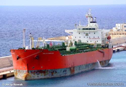
 CHERRY TONDA
Current Status
Where is the vessel?
CHERRY TONDA is currently in 71 nm N of PANGKAL BALAM, based on AIS data received less than 1h ago.
Latest AIS update:
Current position: 0.92333° S, 106.24166° E (71 nm N of PANGKAL BALAM)
Average speed (last 7 days): Loading…
Average speed (last 30 days): Loading…
Vessel profile: CHERRY TONDA is a Chemical Oil Products Tanker with dimensions 176m x 31m.
This page combines live AIS, route history, probable destination signals, nearby traffic, and port activity for practical vessel monitoring.
The current position of vessel CHERRY TONDA is -0.92333 lat / 106.24166 lng. Updated: 2026-04-12 19:17:41 UTCNearest reference points:
- 69 nm NE of Exspan
- Near PANGKAL BALAM
- 46 nm NW of Tanjung Pandan
Currently sailing under the flag of Panama ![]()
Details:
Live Vessel CHERRY TONDA Analytics (details, animations, etc.)
Recent AIS points (UTC):
2026-04-12 13:41:41 UTC · 0.14833, 105.62333 · SOG 13 kn · COG -1°2026-04-12 15:38:42 UTC · -0.21833, 105.85167 · SOG 13 kn · COG -1°
2026-04-12 17:41:39 UTC · -0.62167, 106.06500 · SOG 13 kn · COG -1°
2026-04-12 19:17:41 UTC · -0.92333, 106.24166 · SOG 13 kn · COG -1°