 vesseltracker.com
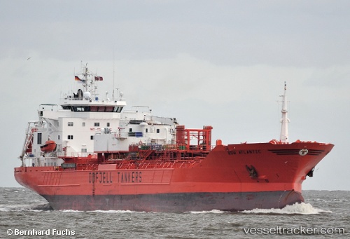
 GRACEFUL STAR
Current Status
Where is the vessel?
GRACEFUL STAR is currently in 19 nm NW of Pulau Jarak, based on AIS data received about 1h ago.
Latest AIS update:
Current position: 4.11333° N, 99.80667° E (19 nm NW of Pulau Jarak)
Average speed (last 7 days): Loading…
Average speed (last 30 days): Loading…
Vessel profile: GRACEFUL STAR is a Oil/Chemical Tanker with dimensions m x m.
This page combines live AIS, route history, probable destination signals, nearby traffic, and port activity for practical vessel monitoring.
The current position of vessel GRACEFUL STAR is 4.11333 lat / 99.80667 lng. Updated: 2026-04-18 12:04:35 UTCNearest reference points:
- 43 nm NE of Perbaungan
- 11 nm W of Pangkur
- Near PANGKOR
Currently sailing under the flag of Panama ![]()
Details:
Live Vessel GRACEFUL STAR Analytics (details, animations, etc.)
Recent AIS points (UTC):
2026-04-18 06:24:39 UTC · 4.17757, 99.73247 · SOG 1.6 kn · COG 282°2026-04-18 08:13:44 UTC · 4.13494, 99.77300 · SOG 1.8 kn · COG -1°
2026-04-18 09:25:35 UTC · 4.11500, 99.79833 · SOG 1 kn · COG -1°
2026-04-18 12:04:35 UTC · 4.11333, 99.80667 · SOG 1 kn · COG -1°