 vesseltracker.com
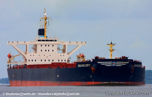
 CAPE TAIZHOU
Current Status
Where is the vessel?
CAPE TAIZHOU is currently in 16 nm SE of Ilsan, based on AIS data received about 1h ago.
Latest AIS update:
Current position: 35.37873° N, 129.71800° E (16 nm SE of Ilsan)
Average speed (last 7 days): Loading…
Average speed (last 30 days): Loading…
Vessel profile: CAPE TAIZHOU is a Bulk Carrier with dimensions m x m.
This page combines live AIS, route history, probable destination signals, nearby traffic, and port activity for practical vessel monitoring.
The current position of vessel CAPE TAIZHOU is 35.37873 lat / 129.71800 lng. Updated: 2026-04-15 05:58:11 UTCNearest reference points:
- 15 nm SE of Ulsan
- 27 nm SE of ONSAN
- Near Ilsan
Currently sailing under the flag of Panama ![]()
Details:
Live Vessel CAPE TAIZHOU Analytics (details, animations, etc.)
Recent AIS points (UTC):
2026-04-14 22:09:00 UTC · 34.27831, 128.86899 · SOG 8.9 kn · COG 35°2026-04-14 23:33:09 UTC · 34.44305, 129.03113 · SOG 9.5 kn · COG 28°
2026-04-15 03:36:30 UTC · 35.03131, 129.50166 · SOG 10.7 kn · COG 49°
2026-04-15 05:58:11 UTC · 35.37873, 129.71800 · SOG 9.5 kn · COG 31°