 vesseltracker.com
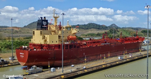
 STARWAY
Current Status
Where is the vessel?
STARWAY is currently in 11 nm NE of SHINAS, based on AIS data received about 1h ago.
Latest AIS update:
Current position: 24.83125° N, 56.64985° E (11 nm NE of SHINAS)
Average speed (last 7 days): Loading…
Average speed (last 30 days): Loading…
Vessel profile: STARWAY is a Oil/Chemical Tanker with dimensions m x m.
This page combines live AIS, route history, probable destination signals, nearby traffic, and port activity for practical vessel monitoring.
The current position of vessel STARWAY is 24.83125 lat / 56.64985 lng. Updated: 2026-04-12 15:26:28 UTCNearest reference points:
- 18 nm SE of SHINAS
- 17 nm SE of Shinas
- Near Fujairah
Currently sailing under the flag of Panama ![]()
Details:
Live Vessel STARWAY Analytics (details, animations, etc.)
Recent AIS points (UTC):
2026-04-12 10:17:39 UTC · 25.01920, 56.65673 · SOG 7.6 kn · COG 349°2026-04-12 11:51:59 UTC · 25.07897, 56.64046 · SOG 0.3 kn · COG 220°
2026-04-12 14:00:39 UTC · 24.86705, 56.62563 · SOG 4.5 kn · COG 187°
2026-04-12 15:26:28 UTC · 24.83125, 56.64985 · SOG 0.9 kn · COG 211°