 vesseltracker.com
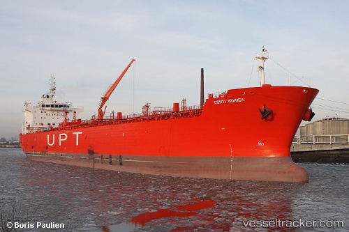
 MESTRAL
Current Status
Where is the vessel?
MESTRAL is currently in Near EL DEKHEILA, based on AIS data received about 1h ago.
Latest AIS update:
Current position: 31.22098° N, 29.70109° E (Near EL DEKHEILA)
Average speed (last 7 days): Loading…
Average speed (last 30 days): Loading…
Vessel profile: MESTRAL is a Oil/Chemical Tanker with dimensions m x m.
This page combines live AIS, route history, probable destination signals, nearby traffic, and port activity for practical vessel monitoring.
The current position of vessel MESTRAL is 31.22098 lat / 29.70109 lng. Updated: 2026-04-08 15:45:59 UTCNearest reference points:
- Near EL DEKHEILA
- 13 nm W of EL DEKHEILA
- Near Alexandria
Currently sailing under the flag of Panama ![]()
Details:
Live Vessel MESTRAL Analytics (details, animations, etc.)
Recent AIS points (UTC):
2026-04-08 10:12:59 UTC · 31.22145, 29.70121 · SOG 0 kn · COG 285°2026-04-08 12:21:56 UTC · 31.22130, 29.70123 · SOG 0 kn · COG 288°
2026-04-08 13:55:04 UTC · 31.22106, 29.70115 · SOG 0 kn · COG 297°
2026-04-08 15:45:59 UTC · 31.22098, 29.70109 · SOG 0 kn · COG 300°