 vesseltracker.com
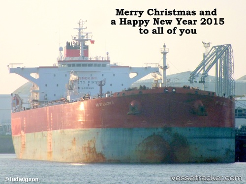
 CENTURION I
Current Status
Where is the vessel?
CENTURION I is currently in 16 nm E of Waterport, based on AIS data received less than 1h ago.
Latest AIS update:
Current position: 36.05787° N, 5.03950° W (16 nm E of Waterport)
Average speed (last 7 days): Loading…
Average speed (last 30 days): Loading…
Vessel profile: CENTURION I is a Crude Oil Tanker with dimensions m x m.
This page combines live AIS, route history, probable destination signals, nearby traffic, and port activity for practical vessel monitoring.
The current position of vessel CENTURION I is 36.05787 lat / -5.03950 lng. Updated: 2026-04-19 16:17:38 UTCNearest reference points:
- Near Waterport
- Near Sotogrande
- 30 nm E of Ceuta
Currently sailing under the flag of Panama ![]()
Details:
Live Vessel CENTURION I Analytics (details, animations, etc.)
Recent AIS points (UTC):
2026-04-19 13:44:39 UTC · 36.14600, -4.35940 · SOG 12.8 kn · COG 260°2026-04-19 14:17:29 UTC · 36.12330, -4.50198 · SOG 13.2 kn · COG 266°
2026-04-19 15:58:09 UTC · 36.07020, -4.95765 · SOG 12.4 kn · COG 259°
2026-04-19 16:17:38 UTC · 36.05787, -5.03950 · SOG 12.2 kn · COG 263°