 vesseltracker.com
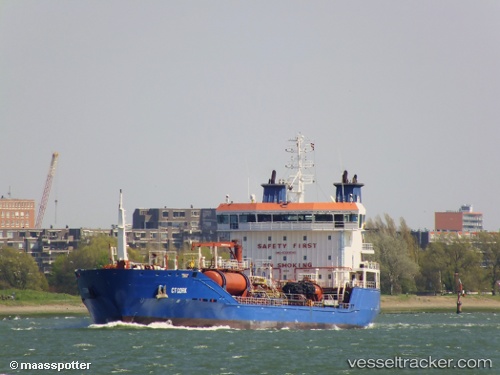
 FRONTERA
Current Status
Where is the vessel?
FRONTERA is currently in Near Punda, based on AIS data received about 1h ago.
Latest AIS update:
Current position: 12.01450° N, 68.92750° W (Near Punda)
Average speed (last 7 days): Loading…
Average speed (last 30 days): Loading…
Vessel profile: FRONTERA is a Oil/Chemical Tanker with dimensions m x m.
This page combines live AIS, route history, probable destination signals, nearby traffic, and port activity for practical vessel monitoring.
The current position of vessel FRONTERA is 12.01450 lat / -68.92750 lng. Updated: 2026-04-18 13:56:02 UTCNearest reference points:
- Near Bullenbaai
- Near Las Piedras
- 24 nm NW of Palm Beach
Currently sailing under the flag of Panama ![]()
Details:
Live Vessel FRONTERA Analytics (details, animations, etc.)
Recent AIS points (UTC):
2026-04-18 07:25:31 UTC · 12.06583, -69.05067 · SOG 1.3 kn · COG 7°2026-04-18 10:02:43 UTC · 12.06283, -69.05750 · SOG 5.3 kn · COG 118°
2026-04-18 11:43:11 UTC · 12.00267, -68.92117 · SOG 5.2 kn · COG 103°
2026-04-18 13:56:02 UTC · 12.01450, -68.92750 · SOG 1 kn · COG 224°