 vesseltracker.com
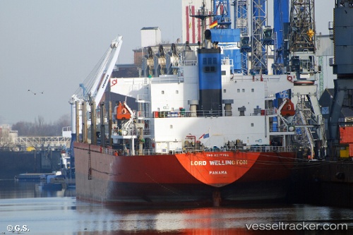
 BOSHI 68
Current Status
Where is the vessel?
BOSHI 68 is currently in 20 nm SE of Vinh Cam Ranh, based on AIS data received about 1h ago.
Latest AIS update:
Current position: 11.75436° N, 109.46737° E (20 nm SE of Vinh Cam Ranh)
Average speed (last 7 days): Loading…
Average speed (last 30 days): Loading…
Vessel profile: BOSHI 68 is a Bulk Carrier with dimensions m x m.
This page combines live AIS, route history, probable destination signals, nearby traffic, and port activity for practical vessel monitoring.
The current position of vessel BOSHI 68 is 11.75436 lat / 109.46737 lng. Updated: 2026-04-17 23:32:09 UTCNearest reference points:
- Near Vinh Cam Ranh
- 29 nm NE of Vung Ro
- Near Rang Dong
Currently sailing under the flag of Panama ![]()
Details:
Live Vessel BOSHI 68 Analytics (details, animations, etc.)
Recent AIS points (UTC):
2026-04-17 17:54:43 UTC · 10.82489, 108.74474 · SOG 13.5 kn · COG 55°2026-04-17 20:00:37 UTC · 11.08854, 109.16157 · SOG 14 kn · COG 55°
2026-04-17 21:26:58 UTC · 11.31265, 109.39575 · SOG 13.2 kn · COG 10°
2026-04-17 23:32:09 UTC · 11.75436, 109.46737 · SOG 12.7 kn · COG 6°