 vesseltracker.com
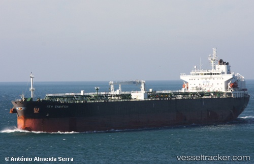
 AL SALMI
Current Status
Where is the vessel?
AL SALMI is currently in 175 nm E of Tan Cang Qui Nhon, based on AIS data received about 1h ago.
Latest AIS update:
Current position: 14.65833° N, 112.70333° E (175 nm E of Tan Cang Qui Nhon)
Average speed (last 7 days): Loading…
Average speed (last 30 days): Loading…
Vessel profile: AL SALMI is a Crude Oil Tanker with dimensions m x m.
This page combines live AIS, route history, probable destination signals, nearby traffic, and port activity for practical vessel monitoring.
The current position of vessel AL SALMI is 14.65833 lat / 112.70333 lng. Updated: 2026-04-19 16:17:35 UTCNearest reference points:
- 215 nm NE of Tan Cang Qui Nhon
- 222 nm E of Tan Cang Qui Nhon
- 232 nm E of Tan Cang Qui Nhon
Currently sailing under the flag of Panama ![]()
Details:
Live Vessel AL SALMI Analytics (details, animations, etc.)
Recent AIS points (UTC):
2026-04-19 13:38:10 UTC · 14.44025, 112.58553 · SOG 5.6 kn · COG 27°2026-04-19 13:55:45 UTC · 14.46333, 112.59833 · SOG 5 kn · COG -1°
2026-04-19 15:58:10 UTC · 14.63286, 112.68955 · SOG 5.7 kn · COG 27°
2026-04-19 16:17:35 UTC · 14.65833, 112.70333 · SOG 5 kn · COG -1°