 vesseltracker.com
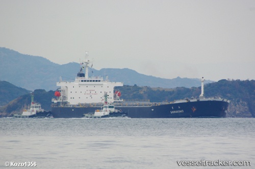
 PENEL
PENEL
Current Status
Where is the vessel?
PENEL is currently in 43 nm NW of Zhukovka, Bryansk, based on AIS data received about 3d ago.
Latest AIS update:
Current position: 54.16457° N, 33.22745° E (43 nm NW of Zhukovka, Bryansk)
Average speed (last 7 days): Loading…
Average speed (last 30 days): Loading…
Vessel profile: PENEL is a Bulk Carrier with dimensions m x m.
This page combines live AIS, route history, probable destination signals, nearby traffic, and port activity for practical vessel monitoring.
The current position of vessel PENEL is 54.16457 lat / 33.22745 lng. Updated: 2026-04-13 23:12:26 UTCNearest reference points:
- 17 nm NE of Zhukovka, Bryansk
Currently sailing under the flag of Panama ![]()
Details:
Live Vessel PENEL Analytics (details, animations, etc.)
Recent AIS points (UTC):
2026-04-09 14:48:44 UTC · 42.79927, 132.95261 · SOG 0.9 kn · COG 206°2026-04-13 23:12:26 UTC · 54.16457, 33.22745 · SOG 14.3 kn · COG 294°
2026-04-13 23:12:26 UTC · 54.16457, 33.22745 · SOG 14.3 kn · COG 294°
2026-04-13 23:12:26 UTC · 54.16457, 33.22745 · SOG 14.3 kn · COG 294°