 vesseltracker.com
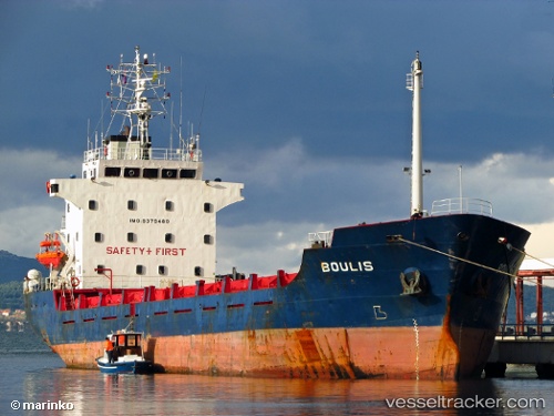
 KIRK B
Current Status
Where is the vessel?
KIRK B is currently in Near Georgetown, Grand Cayman, based on AIS data received less than 1h ago.
Latest AIS update:
Current position: 19.29509° N, 81.38499° W (Near Georgetown, Grand Cayman)
Average speed (last 7 days): Loading…
Average speed (last 30 days): Loading…
Vessel profile: KIRK B is a General Cargo with dimensions m x m.
This page combines live AIS, route history, probable destination signals, nearby traffic, and port activity for practical vessel monitoring.
The current position of vessel KIRK B is 19.29509 lat / -81.38499 lng. Updated: 2026-04-22 18:08:00 UTCNearest reference points:
- Near Georgetown, Grand Cayman
Currently sailing under the flag of Panama ![]()
Details:
Live Vessel KIRK B Analytics (details, animations, etc.)
Recent AIS points (UTC):
2026-04-22 14:18:05 UTC · 19.29506, -81.38497 · SOG 0 kn · COG 90°2026-04-22 16:01:59 UTC · 19.29508, -81.38500 · SOG 0 kn · COG 90°
2026-04-22 16:46:58 UTC · 19.29508, -81.38500 · SOG 0 kn · COG 90°
2026-04-22 18:08:00 UTC · 19.29509, -81.38499 · SOG 0 kn · COG 90°