 vesseltracker.com
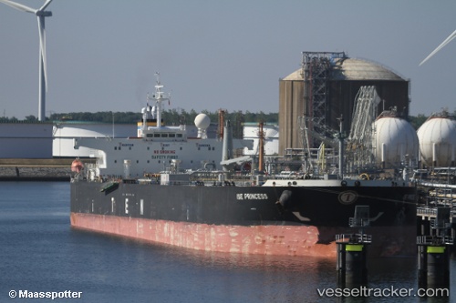
 NEPHIRA
Current Status
Where is the vessel?
NEPHIRA is currently in 127 nm S of Port Raysut, based on AIS data received about 1h ago.
Latest AIS update:
Current position: 14.83145° N, 54.02168° E (127 nm S of Port Raysut)
Average speed (last 7 days): Loading…
Average speed (last 30 days): Loading…
Vessel profile: NEPHIRA is a Crude Oil Tanker with dimensions m x m.
This page combines live AIS, route history, probable destination signals, nearby traffic, and port activity for practical vessel monitoring.
The current position of vessel NEPHIRA is 14.83145 lat / 54.02168 lng. Updated: 2026-04-17 15:51:39 UTCNearest reference points:
- 103 nm S of Port Raysut
- 110 nm NE of Gross Koris
- 106 nm S of Port Raysut
Currently sailing under the flag of Panama ![]()
Details:
Live Vessel NEPHIRA Analytics (details, animations, etc.)
Recent AIS points (UTC):
2026-04-17 09:47:29 UTC · 14.32817, 52.93335 · SOG 11.8 kn · COG 69°2026-04-17 10:37:41 UTC · 14.38560, 53.09345 · SOG 11.9 kn · COG 63°
2026-04-17 10:37:41 UTC · 14.38560, 53.09345 · SOG 11.9 kn · COG 63°
2026-04-17 15:51:39 UTC · 14.83145, 54.02168 · SOG 11.3 kn · COG 79°