 vesseltracker.com
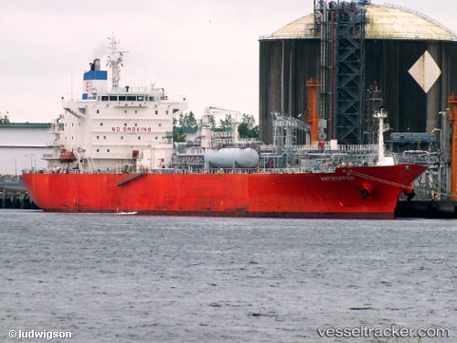
 PASCO DUJA
Current Status
Where is the vessel?
PASCO DUJA is currently in 28 nm N of Abu al Bukhoosh, based on AIS data received about 1h ago.
Latest AIS update:
Current position: 25.92358° N, 53.29390° E (28 nm N of Abu al Bukhoosh)
Average speed (last 7 days): Loading…
Average speed (last 30 days): Loading…
Vessel profile: PASCO DUJA is a Lpg Tanker with dimensions m x m.
This page combines live AIS, route history, probable destination signals, nearby traffic, and port activity for practical vessel monitoring.
The current position of vessel PASCO DUJA is 25.92358 lat / 53.29390 lng. Updated: 2026-04-14 05:54:55 UTCNearest reference points:
- 21 nm NE of Halul Island
- Near Jazireh-Ye Lavan
- Near Das Island
Currently sailing under the flag of Panama ![]()
Details:
Live Vessel PASCO DUJA Analytics (details, animations, etc.)
Recent AIS points (UTC):
2026-04-13 21:12:15 UTC · 25.92455, 53.29388 · SOG 0.1 kn · COG -1°2026-04-14 02:36:23 UTC · 25.92348, 53.29377 · SOG 0.4 kn · COG 311°
2026-04-14 04:13:59 UTC · 25.92337, 53.29370 · SOG 0.3 kn · COG -1°
2026-04-14 05:54:55 UTC · 25.92358, 53.29390 · SOG 2.2 kn · COG -1°