 vesseltracker.com
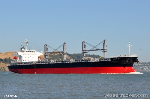
 KING ISLAND
Current Status
Where is the vessel?
KING ISLAND is currently in 174 nm W of Llico, based on AIS data received about 1h ago.
Latest AIS update:
Current position: 36.12333° S, 76.91333° W (174 nm W of Llico)
Average speed (last 7 days): Loading…
Average speed (last 30 days): Loading…
Vessel profile: KING ISLAND is a General Cargo with dimensions m x m.
This page combines live AIS, route history, probable destination signals, nearby traffic, and port activity for practical vessel monitoring.
The current position of vessel KING ISLAND is -36.12333 lat / -76.91333 lng. Updated: 2026-04-06 00:03:52 UTCCurrently sailing under the flag of Panama ![]()
Details:
Live Vessel KING ISLAND Analytics (details, animations, etc.)
Recent AIS points (UTC):
2026-04-05 13:49:20 UTC · -34.12338, -76.95386 · SOG 11.5 kn · COG 176°2026-04-05 16:15:47 UTC · -34.58500, -76.93833 · SOG 11 kn · COG -1°
2026-04-05 22:07:45 UTC · -35.74414, -76.92861 · SOG 11.7 kn · COG 175°
2026-04-06 00:03:52 UTC · -36.12333, -76.91333 · SOG 11 kn · COG -1°