 vesseltracker.com
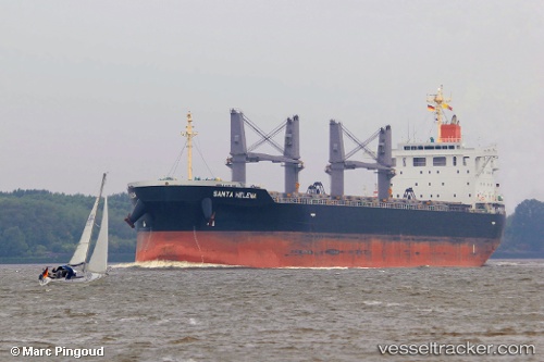
 VOSCO TRADER
Current Status
Where is the vessel?
VOSCO TRADER is currently in 93 nm SE of KIJANG, based on AIS data received about 1h ago.
Latest AIS update:
Current position: 0.22079° N, 106.02494° E (93 nm SE of KIJANG)
Average speed (last 7 days): Loading…
Average speed (last 30 days): Loading…
Vessel profile: VOSCO TRADER is a Bulk Carrier with dimensions m x m.
This page combines live AIS, route history, probable destination signals, nearby traffic, and port activity for practical vessel monitoring.
The current position of vessel VOSCO TRADER is 0.22079 lat / 106.02494 lng. Updated: 2026-04-07 18:02:32 UTCNearest reference points:
- 69 nm NE of Exspan
- 76 nm NE of KIJANG
- 19 nm SW of TANJUNG PINANG
Currently sailing under the flag of Panama ![]()
Details:
Live Vessel VOSCO TRADER Analytics (details, animations, etc.)
Recent AIS points (UTC):
2026-04-07 12:26:32 UTC · 0.99861, 105.21146 · SOG 12.4 kn · COG 125°2026-04-07 13:33:12 UTC · 0.86354, 105.39460 · SOG 12.2 kn · COG 125°
2026-04-07 15:36:11 UTC · 0.57358, 105.68905 · SOG 12.1 kn · COG 133°
2026-04-07 18:02:32 UTC · 0.22079, 106.02494 · SOG 11.9 kn · COG 135°