 vesseltracker.com
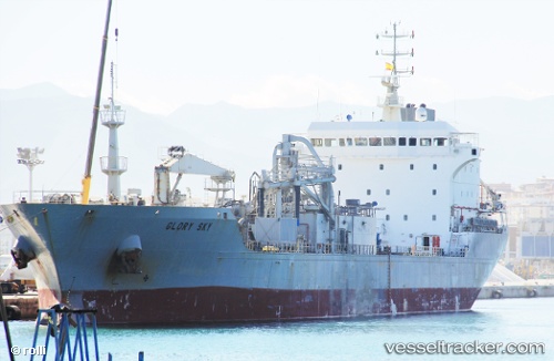
 Glory Sky
Current Status
Where is the vessel?
Glory Sky is currently in 121 nm NW of Kumejima, based on AIS data received about 5h ago.
Latest AIS update:
Current position: 28.19930° N, 125.78739° E (121 nm NW of Kumejima)
Average speed (last 7 days): Loading…
Average speed (last 30 days): Loading…
Vessel profile: Glory Sky is a Cement Carrier with dimensions 145m x 22m.
This page combines live AIS, route history, probable destination signals, nearby traffic, and port activity for practical vessel monitoring.
The current position of vessel Glory Sky is 28.19930 lat / 125.78739 lng. Updated: 2026-04-10 07:18:33 UTCNearest reference points:
- 165 nm SE of Lü-hua Shan
- 129 nm SE of ZHOUSHAN
- 102 nm E of Wenling Longmen Port
Currently sailing under the flag of Panama ![]()
Glory Sky built in 1996 year
Deadweight:
16265 tDetails:
Live Vessel Glory Sky Analytics (details, animations, etc.)
Recent AIS points (UTC):
2026-04-10 00:14:41 UTC · 28.79225, 126.84526 · SOG 9 kn · COG -1°2026-04-10 00:14:41 UTC · 28.79225, 126.84526 · SOG 9 kn · COG -1°
2026-04-10 05:14:53 UTC · 28.37021, 126.10493 · SOG 9.4 kn · COG 240°
2026-04-10 07:18:33 UTC · 28.19930, 125.78739 · SOG 9.7 kn · COG 238°