 vesseltracker.com
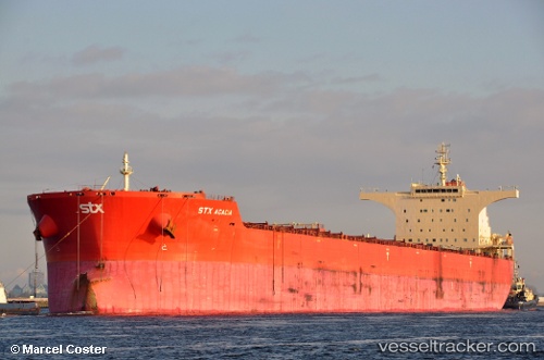
 Pan Acacia
Current Status
Where is the vessel?
Pan Acacia is currently in 244 nm NE of Port Mathurin, based on AIS data received about 1h ago.
Latest AIS update:
Current position: 16.17389° S, 65.55869° E (244 nm NE of Port Mathurin)
Average speed (last 7 days): Loading…
Average speed (last 30 days): Loading…
Vessel profile: Pan Acacia is a Bulk Carrier with dimensions 291m x 45m.
This page combines live AIS, route history, probable destination signals, nearby traffic, and port activity for practical vessel monitoring.
The current position of vessel Pan Acacia is -16.17389 lat / 65.55869 lng. Updated: 2026-04-08 03:51:03 UTCNearest reference points:
- 154 nm NE of Port Mathurin
- 353 nm NE of Port Mathurin
- Open sea, approx. 400 nm off the nearest listed port
Currently sailing under the flag of Panama ![]()
Pan Acacia built in 2010 year
Deadweight:
175292 tDetails:
Live Vessel Pan Acacia Analytics (details, animations, etc.)
Recent AIS points (UTC):
2026-04-07 22:09:16 UTC · -15.45062, 66.56258 · SOG 12.7 kn · COG 233°2026-04-07 23:40:34 UTC · -15.64013, 66.29156 · SOG 12.4 kn · COG 226°
2026-04-08 02:00:43 UTC · -15.94745, 65.88680 · SOG 12.7 kn · COG 235°
2026-04-08 03:51:03 UTC · -16.17389, 65.55869 · SOG 12.7 kn · COG 230°