 vesseltracker.com
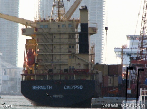
 STORM I
Current Status
Where is the vessel?
STORM I is currently in Near Las Palmas, based on AIS data received less than 1h ago.
Latest AIS update:
Current position: 28.15846° N, 15.40791° W (Near Las Palmas)
Average speed (last 7 days): Loading…
Average speed (last 30 days): Loading…
Vessel profile: STORM I is a General Cargo Ship with dimensions 19m x 101m.
This page combines live AIS, route history, probable destination signals, nearby traffic, and port activity for practical vessel monitoring.
The current position of vessel STORM I is 28.15846 lat / -15.40791 lng. Updated: 2026-04-07 07:55:30 UTCNearest reference points:
- Near Las Palmas
- Near Las Palmas de Gran Canaria
- Near TALIARTE
Currently sailing under the flag of Panama ![]()
STORM I built in 1999 year
Deadweight:
6962 tDetails:
Live Vessel STORM I Analytics (details, animations, etc.)
Recent AIS points (UTC):
2026-04-07 01:37:51 UTC · 28.15848, -15.40790 · SOG 0 kn · COG 1°2026-04-07 04:10:40 UTC · 28.15846, -15.40789 · SOG 0 kn · COG 359°
2026-04-07 05:28:50 UTC · 28.15844, -15.40789 · SOG 0 kn · COG -1°
2026-04-07 07:55:30 UTC · 28.15846, -15.40791 · SOG 0 kn · COG -1°