 vesseltracker.com
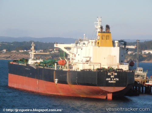
 GULF KNOT
Current Status
Where is the vessel?
GULF KNOT is currently in 238 nm W of Letlhakane, based on AIS data received about 72d ago.
Latest AIS update:
Current position: 21.96078° S, 21.35219° E (238 nm W of Letlhakane)
Average speed (last 7 days): Loading…
Average speed (last 30 days): Loading…
Vessel profile: GULF KNOT is a Crude Oil Tanker with dimensions 244m x 42m.
This page combines live AIS, route history, probable destination signals, nearby traffic, and port activity for practical vessel monitoring.
The current position of vessel GULF KNOT is -21.96078 lat / 21.35219 lng. Updated: 2026-02-06 01:05:08 UTCCurrently sailing under the flag of Panama ![]()
GULF KNOT built in 2003 year
Deadweight:
105716 tDetails:
Live Vessel GULF KNOT Analytics (details, animations, etc.)
Recent AIS points (UTC):
2026-02-06 01:05:08 UTC · -21.96078, 21.35219 · SOG 70.2 kn · COG 352°