 vesseltracker.com
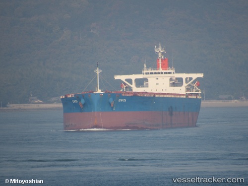
 Unta
Unta
Current Status
Where is the vessel?
Unta is currently in 11 nm N of CAPE PRESTON, based on AIS data received about 20h ago.
Latest AIS update:
Current position: 20.65038° S, 116.18522° E (11 nm N of CAPE PRESTON)
Average speed (last 7 days): Loading…
Average speed (last 30 days): Loading…
Vessel profile: Unta is a Bulk Carrier with dimensions 255m x 43m.
This page combines live AIS, route history, probable destination signals, nearby traffic, and port activity for practical vessel monitoring.
The current position of vessel Unta is -20.65038 lat / 116.18522 lng. Updated: 2026-04-10 08:07:47 UTCNearest reference points:
- 11 nm E of Port Walcot
- 116 nm NE of Mutineer
Currently sailing under the flag of Panama ![]()
Unta built in 2009 year
Deadweight:
106563 tDetails:
Live Vessel Unta Analytics (details, animations, etc.)
Recent AIS points (UTC):
2026-04-10 01:39:55 UTC · -20.65075, 116.18482 · SOG 0 kn · COG 315°2026-04-10 04:12:57 UTC · -20.65118, 116.18450 · SOG 0 kn · COG 321°
2026-04-10 05:53:55 UTC · -20.65123, 116.18465 · SOG 0 kn · COG 320°
2026-04-10 08:07:47 UTC · -20.65038, 116.18522 · SOG 0 kn · COG 291°