 vesseltracker.com
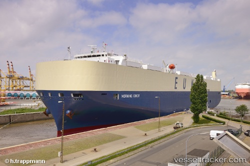
Morning Cindy
Current StatusWhere is the vessel?
Morning Cindy is currently in 58 nm N of Catia La Mar, based on AIS data received less than 1h ago.
Latest AIS update:
Current position: 11.56613° N, 67.22555° W (58 nm N of Catia La Mar)
Average speed (last 7 days): Loading…
Average speed (last 30 days): Loading…
Vessel profile: Morning Cindy is a Vehicles Carrier with dimensions 32m x 199m.
This page combines live AIS, route history, probable destination signals, nearby traffic, and port activity for practical vessel monitoring.
The current position of vessel Morning Cindy is 11.56613 lat / -67.22555 lng. Updated: 2026-04-14 06:08:55 UTCNearest reference points:
- Near Bullenbaai
Details:
Live Vessel Morning Cindy Analytics (details, animations, etc.)
Recent AIS points (UTC):
2026-04-14 00:06:23 UTC · 12.01584, -68.90389 · SOG 14.4 kn · COG 134°2026-04-14 02:03:23 UTC · 11.79606, -68.39831 · SOG 17.6 kn · COG 103°
2026-04-14 03:37:52 UTC · 11.70268, -67.94456 · SOG 17.4 kn · COG 101°
2026-04-14 06:08:55 UTC · 11.56613, -67.22555 · SOG 17.1 kn · COG 97°