 vesseltracker.com
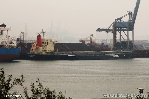
Oceanic Power
Current StatusWhere is the vessel?
Oceanic Power is currently in Near JINHAI HEAVY INDUSTR, based on AIS data received about 1149d ago.
Latest AIS update:
Current position: 30.28767° N, 122.07879° E (Near JINHAI HEAVY INDUSTR)
Average speed (last 7 days): Loading…
Average speed (last 30 days): Loading…
Vessel profile: Oceanic Power is a Bulk Carrier with dimensions 32m x 225m.
This page combines live AIS, route history, probable destination signals, nearby traffic, and port activity for practical vessel monitoring.
The current position of vessel Oceanic Power is 30.28767 lat / 122.07879 lng. Updated: 2023-02-03 09:48:01 UTCNearest reference points:
- Near JINHAI HEAVY INDUSTR
- 11 nm N of Majistan/Zhoushan
- 11 nm NW of JINHAI HEAVY INDUSTR
Details:
Live Vessel Oceanic Power Analytics (details, animations, etc.)
Recent AIS points (UTC):
2023-02-03 09:48:01 UTC · 30.28767, 122.07879 · SOG 0 kn · COG 139.5°