 vesseltracker.com
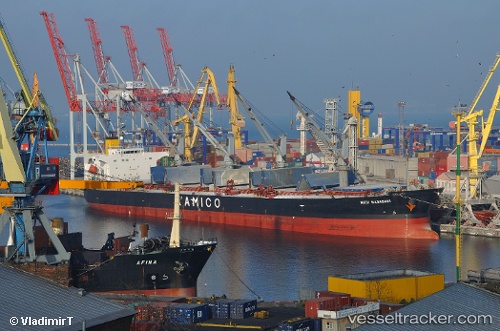
Nota A
Current StatusWhere is the vessel?
Nota A is currently in Near Kumport, based on AIS data received less than 1h ago.
Latest AIS update:
Current position: 40.93994° N, 28.85165° E (Near Kumport)
Average speed (last 7 days): Loading…
Average speed (last 30 days): Loading…
Vessel profile: Nota A is a Bulk Carrier with dimensions 32m x 188m.
This page combines live AIS, route history, probable destination signals, nearby traffic, and port activity for practical vessel monitoring.
The current position of vessel Nota A is 40.93994 lat / 28.85165 lng. Updated: 2026-04-20 07:29:16 UTCNearest reference points:
- Near BAKIRKOY
- Near ZEYTINBURNU
- Near Davutpasa
Details:
Live Vessel Nota A Analytics (details, animations, etc.)
Recent AIS points (UTC):
2026-04-20 03:38:22 UTC · 40.93978, 28.85166 · SOG 0 kn · COG -1°2026-04-20 04:29:25 UTC · 40.93975, 28.85184 · SOG 0 kn · COG -1°
2026-04-20 06:20:27 UTC · 40.93982, 28.85150 · SOG 0 kn · COG -1°
2026-04-20 07:29:16 UTC · 40.93994, 28.85165 · SOG 0.3 kn · COG -1°