 vesseltracker.com
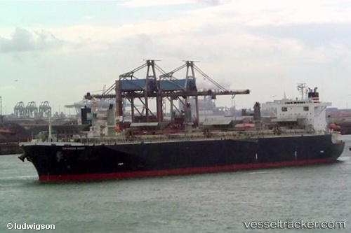
Alizay 2
Current StatusWhere is the vessel?
Alizay 2 is currently in 73 nm SE of Xiangyu Terminal/ Xiamen, based on AIS data received about 2h ago.
Latest AIS update:
Current position: 26.54969° N, 121.54174° E (73 nm SE of Xiangyu Terminal/ Xiamen)
Average speed (last 7 days): Loading…
Average speed (last 30 days): Loading…
Vessel profile: Alizay 2 is a Wood Chips Carrier with dimensions 32m x 200m.
This page combines live AIS, route history, probable destination signals, nearby traffic, and port activity for practical vessel monitoring.
The current position of vessel Alizay 2 is 26.54969 lat / 121.54174 lng. Updated: 2026-04-12 19:06:37 UTCNearest reference points:
- 66 nm SE of Sansha
- 43 nm E of Sansha
- 58 nm E of Beijiao
Details:
Live Vessel Alizay 2 Analytics (details, animations, etc.)
Recent AIS points (UTC):
2026-04-12 13:50:43 UTC · 27.46563, 122.08920 · SOG 11.9 kn · COG 209°2026-04-12 15:16:15 UTC · 27.21025, 121.96440 · SOG 12 kn · COG -1°
2026-04-12 17:36:29 UTC · 26.79502, 121.73111 · SOG 12.3 kn · COG -1°
2026-04-12 19:06:37 UTC · 26.54969, 121.54174 · SOG 12 kn · COG -1°