 vesseltracker.com
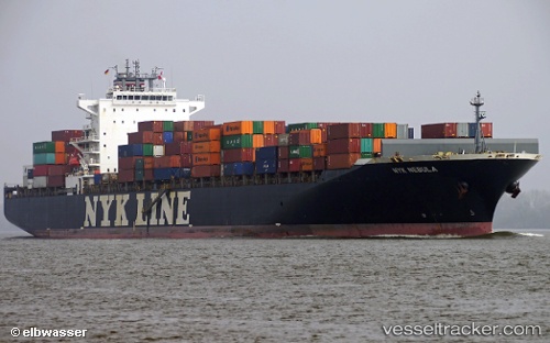
Nyk Nebula
Current StatusWhere is the vessel?
Nyk Nebula is currently in Near FAWLEY, based on AIS data received less than 1h ago.
Latest AIS update:
Current position: 50.85714° N, 1.35303° W (Near FAWLEY)
Average speed (last 7 days): Loading…
Average speed (last 30 days): Loading…
Vessel profile: Nyk Nebula is a Container Ship with dimensions 32m x 295m.
This page combines live AIS, route history, probable destination signals, nearby traffic, and port activity for practical vessel monitoring.
The current position of vessel Nyk Nebula is 50.85714 lat / -1.35303 lng. Updated: 2026-03-31 07:30:10 UTCNearest reference points:
- Near PORT HAMBLE
- Near MERCURY
- Near HAMBLE POINT
Details:
Live Vessel Nyk Nebula Analytics (details, animations, etc.)
Recent AIS points (UTC):
2026-03-31 02:16:27 UTC · 50.43527, -1.15440 · SOG 1.6 kn · COG 15°2026-03-31 03:23:26 UTC · 50.42189, -1.18124 · SOG 0.8 kn · COG 34°
2026-03-31 06:03:40 UTC · 50.72658, -1.04122 · SOG 15.4 kn · COG 292°
2026-03-31 07:30:10 UTC · 50.85714, -1.35303 · SOG 9.5 kn · COG 309°