 vesseltracker.com
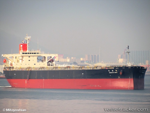
Sakaide Maru
Current StatusWhere is the vessel?
Sakaide Maru is currently in 58 nm NE of Bundaberg, based on AIS data received about 1h ago.
Latest AIS update:
Current position: 24.30493° S, 153.40434° E (58 nm NE of Bundaberg)
Average speed (last 7 days): Loading…
Average speed (last 30 days): Loading…
Vessel profile: Sakaide Maru is a Bulk Carrier with dimensions 43m x 255m.
This page combines live AIS, route history, probable destination signals, nearby traffic, and port activity for practical vessel monitoring.
The current position of vessel Sakaide Maru is -24.30493 lat / 153.40434 lng. Updated: 2026-04-03 03:34:50 UTCNearest reference points:
- Near HERVEY BAY
- Near Bundaberg
- Near Tin Can Bay
Details:
Live Vessel Sakaide Maru Analytics (details, animations, etc.)
Recent AIS points (UTC):
2026-04-02 22:00:31 UTC · -23.57900, 152.67740 · SOG 9.9 kn · COG 141°2026-04-03 00:09:41 UTC · -23.84626, 152.95068 · SOG 10.3 kn · COG 137°
2026-04-03 01:18:12 UTC · -23.99643, 153.09525 · SOG 10.5 kn · COG 135°
2026-04-03 03:34:50 UTC · -24.30493, 153.40434 · SOG 11.2 kn · COG 134°