 vesseltracker.com
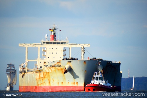
 Cape Jacaranda
Current Status
Where is the vessel?
Cape Jacaranda is currently in 188 nm SE of Richards Bay, based on AIS data received about 1h ago.
Latest AIS update:
Current position: 31.20186° S, 34.51338° E (188 nm SE of Richards Bay)
Average speed (last 7 days): Loading…
Average speed (last 30 days): Loading…
Vessel profile: Cape Jacaranda is a Bulk Carrier with dimensions 292m x 45m.
This page combines live AIS, route history, probable destination signals, nearby traffic, and port activity for practical vessel monitoring.
The current position of vessel Cape Jacaranda is -31.20186 lat / 34.51338 lng. Updated: 2026-04-14 18:21:51 UTCNearest reference points:
- 181 nm SE of Hibberdene
- 163 nm SE of Richards Bay
- 125 nm SE of Port Edward
Currently sailing under the flag of Panama ![]()
Details:
Live Vessel Cape Jacaranda Analytics (details, animations, etc.)
Recent AIS points (UTC):
2026-04-14 11:55:34 UTC · -30.62833, 35.87667 · SOG 11 kn · COG -1°2026-04-14 14:16:11 UTC · -30.83072, 35.38797 · SOG 12.2 kn · COG 249°
2026-04-14 16:15:55 UTC · -31.01526, 34.96133 · SOG 12.6 kn · COG 252°
2026-04-14 18:21:51 UTC · -31.20186, 34.51338 · SOG 12.2 kn · COG 248°