 vesseltracker.com
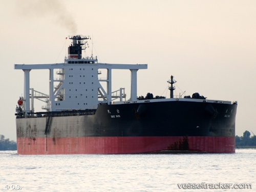
Bao Min
Current StatusWhere is the vessel?
Bao Min is currently in 90 nm NE of Cap Malheureux, based on AIS data received about 4h ago.
Latest AIS update:
Current position: 18.92026° S, 58.71624° E (90 nm NE of Cap Malheureux)
Average speed (last 7 days): Loading…
Average speed (last 30 days): Loading…
Vessel profile: Bao Min is a Ore Carrier with dimensions 55m x 327m.
This page combines live AIS, route history, probable destination signals, nearby traffic, and port activity for practical vessel monitoring.
The current position of vessel Bao Min is -18.92026 lat / 58.71624 lng. Updated: 2026-04-05 00:48:58 UTCNearest reference points:
- Near Port Louis
- 159 nm W of Rodrigues
Details:
Live Vessel Bao Min Analytics (details, animations, etc.)
Recent AIS points (UTC):
2026-04-04 19:26:36 UTC · -18.52116, 59.51395 · SOG 9.5 kn · COG 240°2026-04-04 20:55:07 UTC · -18.63285, 59.29926 · SOG 9.4 kn · COG 244°
2026-04-04 22:53:47 UTC · -18.77282, 59.00976 · SOG 9.5 kn · COG 239°
2026-04-05 00:48:58 UTC · -18.92026, 58.71624 · SOG 10.1 kn · COG 235°