 vesseltracker.com
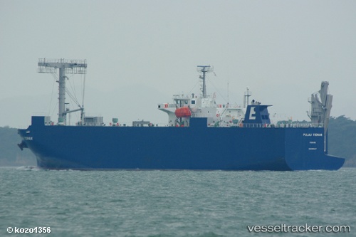
Pulau Tioman
Current StatusWhere is the vessel?
Pulau Tioman is currently in Near KANDA, based on AIS data received about 1h ago.
Latest AIS update:
Current position: 33.77333° N, 131.00667° E (Near KANDA)
Average speed (last 7 days): Loading…
Average speed (last 30 days): Loading…
Vessel profile: Pulau Tioman is a Vehicles Carrier with dimensions 20m x 120m.
This page combines live AIS, route history, probable destination signals, nearby traffic, and port activity for practical vessel monitoring.
The current position of vessel Pulau Tioman is 33.77333 lat / 131.00667 lng. Updated: 2026-04-15 23:20:46 UTCNearest reference points:
- Near KANDA
- Near Kanmon
- Near Shimonoseki
Details:
Live Vessel Pulau Tioman Analytics (details, animations, etc.)
Recent AIS points (UTC):
2026-04-15 18:02:44 UTC · 33.65667, 131.78333 · SOG 10 kn · COG -1°2026-04-15 20:22:45 UTC · 33.82633, 131.40901 · SOG 8.3 kn · COG 284°
2026-04-15 22:07:36 UTC · 33.83561, 131.14514 · SOG 7 kn · COG 252°
2026-04-15 23:20:46 UTC · 33.77333, 131.00667 · SOG 0 kn · COG -1°