 vesseltracker.com
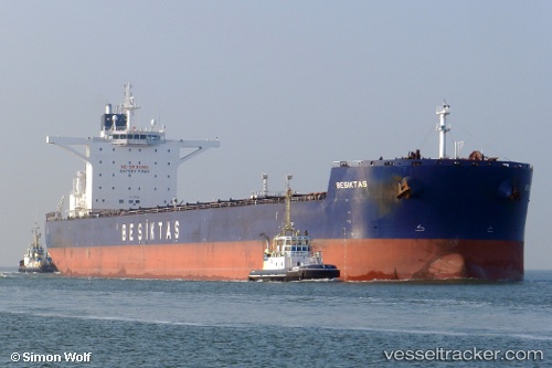
 Sunny Star
Current Status
Where is the vessel?
Sunny Star is currently in 171 nm SW of Koiingnaas, based on AIS data received about 1h ago.
Latest AIS update:
Current position: 31.76618° S, 14.51030° E (171 nm SW of Koiingnaas)
Average speed (last 7 days): Loading…
Average speed (last 30 days): Loading…
Vessel profile: Sunny Star is a Bulk Carrier with dimensions 292m x 45m.
This page combines live AIS, route history, probable destination signals, nearby traffic, and port activity for practical vessel monitoring.
The current position of vessel Sunny Star is -31.76618 lat / 14.51030 lng. Updated: 2026-04-18 19:22:40 UTCNearest reference points:
- 167 nm SW of Koiingnaas
- 154 nm W of Koiingnaas
- 161 nm W of Koiingnaas
Currently sailing under the flag of Panama ![]()
Sunny Star built in 2011 year
Deadweight:
179843 tDetails:
Live Vessel Sunny Star Analytics (details, animations, etc.)
Recent AIS points (UTC):
2026-04-18 13:58:39 UTC · -31.23088, 13.79081 · SOG 8.9 kn · COG 136°2026-04-18 16:20:49 UTC · -31.46200, 14.11739 · SOG 9.1 kn · COG 133°
2026-04-18 17:29:40 UTC · -31.57016, 14.26791 · SOG 8.7 kn · COG 138°
2026-04-18 19:22:40 UTC · -31.76618, 14.51030 · SOG 9.3 kn · COG 136°